
Nature Tourism Services
deliver products that assist
land managers to provide
meaningful and valued
visitor experiences.


Major Projects

Digital products
The digital section of our our website describes in detail the extent of our work in delivering webapp and smartphone PDF products in support of our interpretive projects. The portfolio section included there is reproduced below for easy reference.
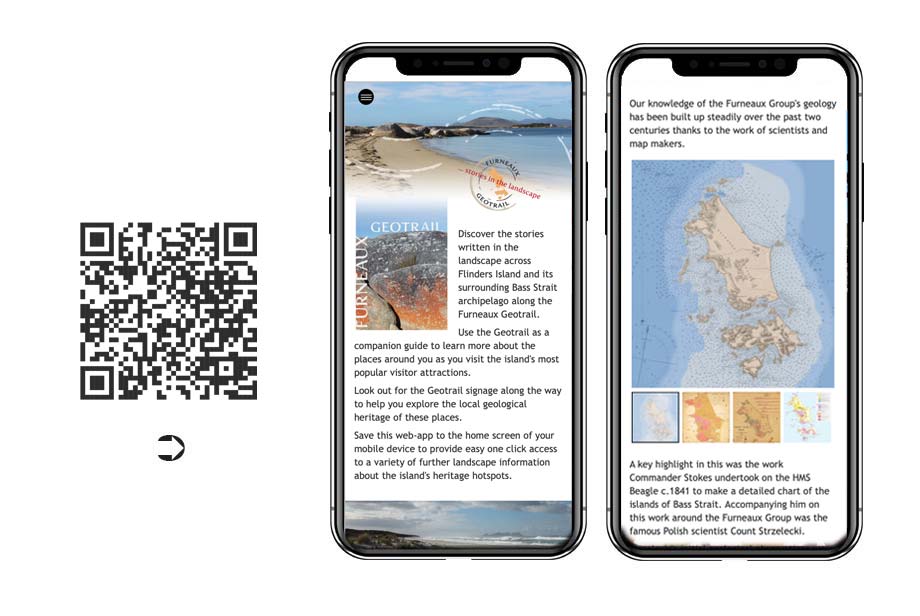
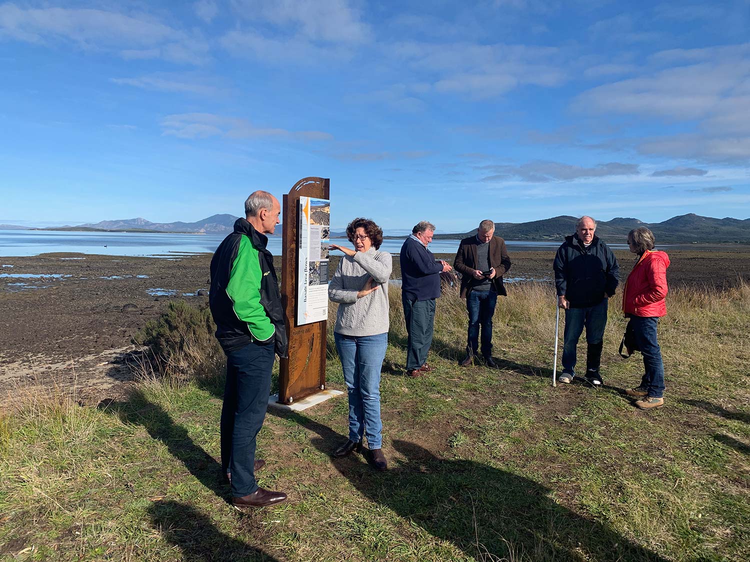
The Furneaux Geotrail on Flinders Island in Bass Strait is supported by a webapp product that allows visitors to enquire further into the stories in the landscape as they move around the island.
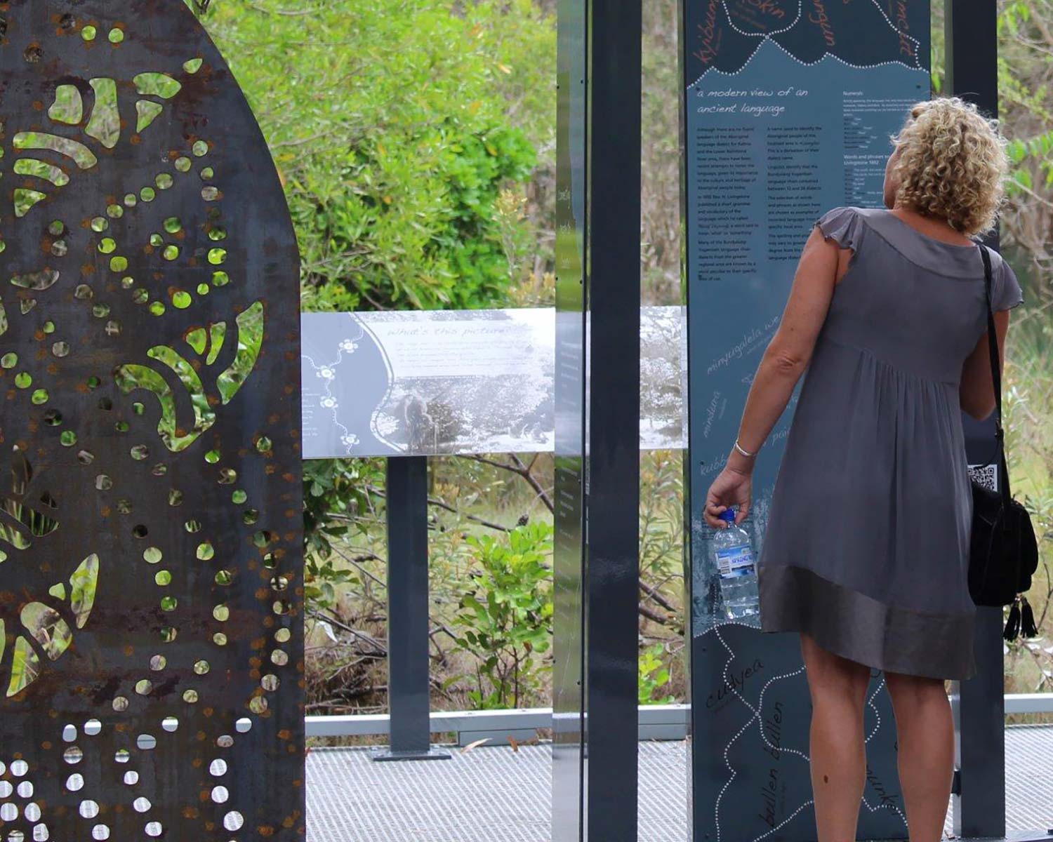
The webapp also reproduces the content on the interpretive signs so as to allow its easy translation for non-English speaking visitors.
It takes advantage of the fact that the island has just had its internet coverage upgraded and good mobile reception is now provided across the main visitor precincts.

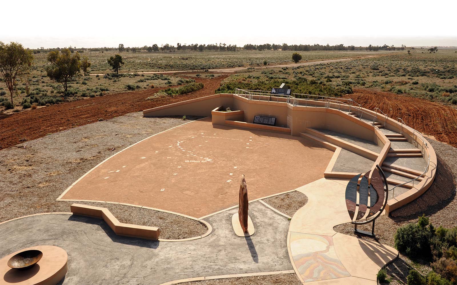
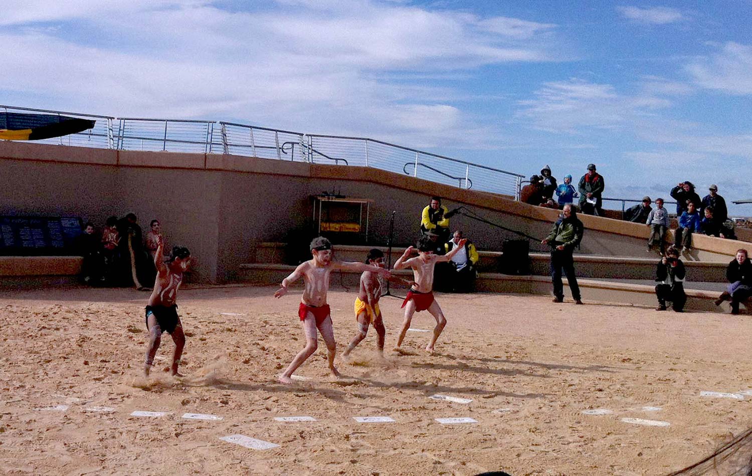
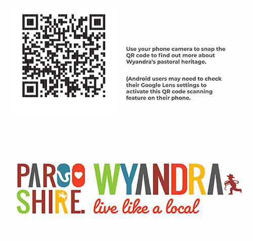
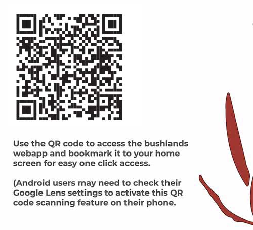
In 2020/21 we worked with Paroo Shire Council to deliver a major new suite of heritage signae for natural and cultural heritage places around the shire. A feature of all these projects was the integrated use of webapp support to provide detailed accounts in support of the interpretive signs. These also served to publish the sign content in HTML allowing for easy access by non-English speaking users and people with disability. In all separate projects were undertaken for the Cunnamulla Heritage Trail, Cunnamulla Bushlands, Riverbank Walk and the townships of Wyandra and Eulo. Links to these are as per the screensnaps from the signage below.


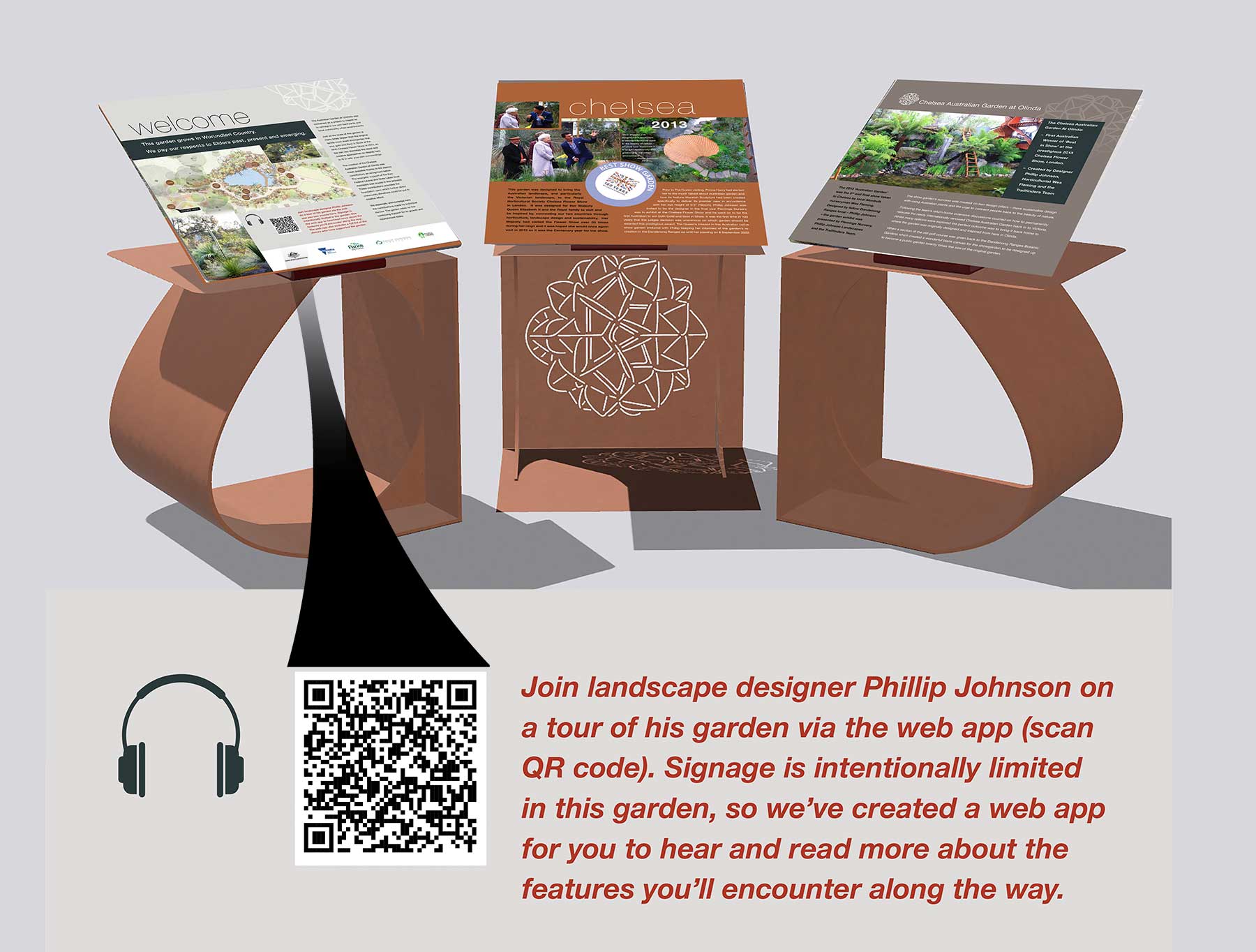
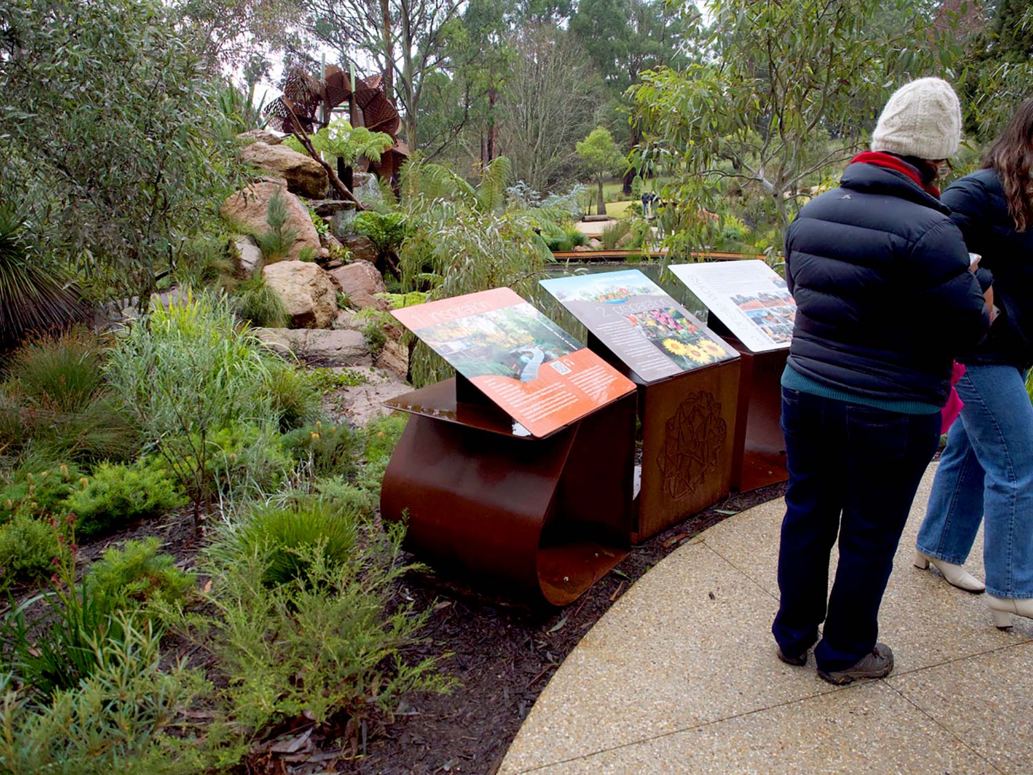
The signage in this feature display garden setting within the Dandenong Ranges Botanic Garden relies on the supporting webapp to deliver a quality user experience. A feature of the webapp is the audio content provided by the garden designer Phillip Johnson. Delivered as a podcast video with subtitled support, the tour gives visitors immediate access to the vital ideas behind the garden's creation. The podcasts were created using the remarkable utility of the Descript app.

The Three Mile Scrub webapp is an integral part of an interpretive design project. It supports a community driven creekside rehabilitation project at the Davidson Street section of the Enoggera Creek just north of the Brisbane CBD.The project actively limited the on site disruption signage may have caused by using a series of QR code marker posts in order to deliver the bulk of the material digitally. Three Mile Scrub is a striking example of how the integration of digital support product into signage solutions can deliver optimal outcomes fit for purpose in a post 2020 operating environment.

The Ballina Coastal Recreation Path is a major initiative to connect the town of Ballina with the village of Lennox Head some 10km to the north.
A key element of the path's interpretation is the that allows Aboriginal elders to talk about the significance of the site to visitors as they travel through this cultural landscape.
The work of local artists is also included to assist in telling the stories of Country.

This interpretive digital trail was developed as part of Australia’s nation wide initiatives to commemorate the involvement of local communities in the First World War. A feature of the trail is that it combines a real life experience in the form of a signposted circuit around Lissner Park in the town, with the fact that all of the trail content is embedded in the cloud in the form of the webapp. This allows for the use of extended connected narratives as well as multi media content.
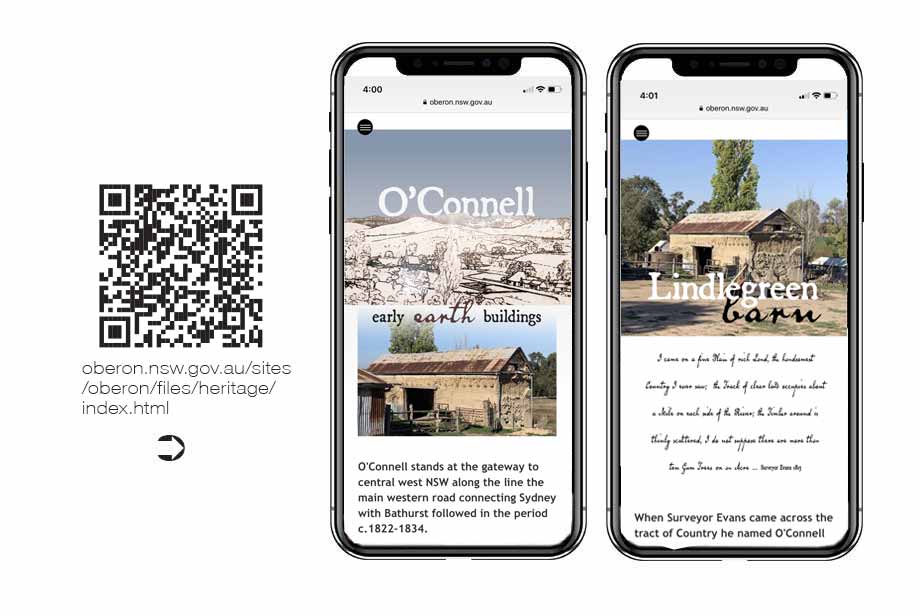
Located between Bathurst and Oberon in the NSW Central West, O'Connell is home to an array of earth buildings reaching back to the early 1800s. In support of the signage we produced in 2019 to interpret these features we also put together a webapp to deliver additional content to visitors. This allows them to both read the signage content in their preferred language via on the fly translaton of the web page as it is rendered by the user's web browser, while also allowing people the choice of reading more detail about both the buildings and the overall regional context within which they are set.

The Dundowra Reserve at Warragamba represents a creative partnership between Sydney Water and the Gundungurra traditional owners. The signage associated with the reserve entry and yarning circle is intentionally limited in content so as to present a strong visual storyline anchored on artwork created especially for the project. The webapp support was vital to include both additional content and to feature welcome to Country video messaging as well as the cultural burn video.
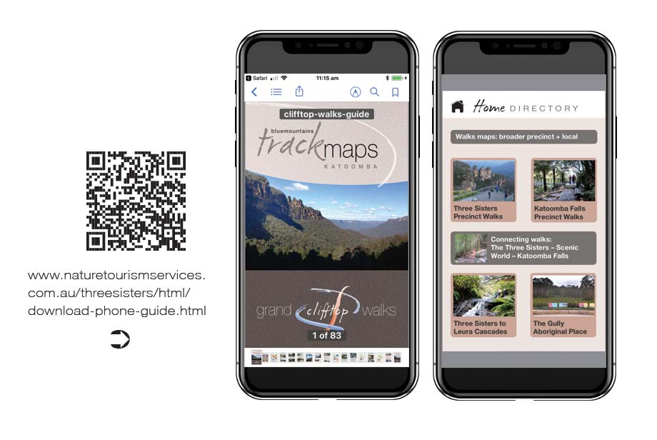
This PDF smartphone guide is focussed on the needs of visitors to the Echo Point precinct and the Three Sisters Aboriginal Place at Katoomba. The trailhead sign at the start of the track network leading into the valley walks features a QR code link advising people not to take a photo of the map, but rather to download the PDF walks guide to embed trail maps and notes onto their phone.
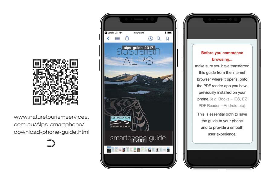
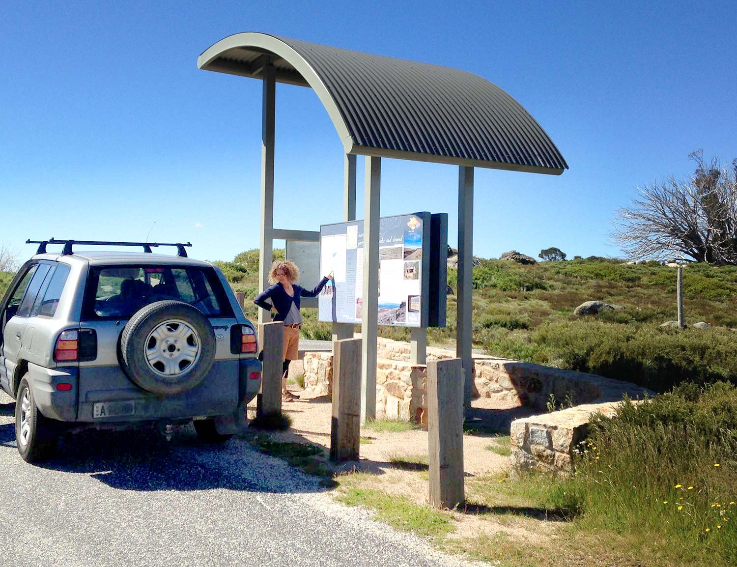
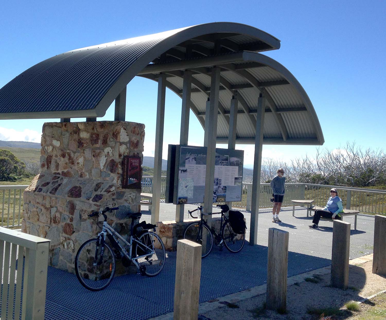
This guide was the prototype version we developed in conjunction with the Australian Alps Liaison Committee in 2012 to develop the structure and function of this product.
It came about owing to the need to update the touring map for the Australian Alps and recognising that there was the opportunity to transfer this function to a digital platform. The product has been effective at delivering a steady download stream in the order of 3500 units per year since this time. It was updated in 2017 to deliver both content updates and to include subtle modifications to the operating environment as derived from other more recent smartphone guide products.
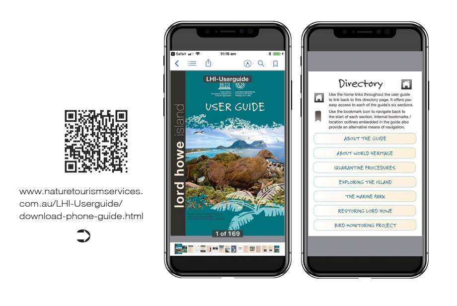
We developed this smartphone guide in 2015 for the Lord Howe Island Board to assist specifically with the roll out of their new island pest species quarantine regime.
The guide was designed to provide a ready reference source for both local residents and visitors alike.
Extensive tracks details and the compilation of maps covering both the terrestrial walking trails and marine national park zoning requirements are designed to provide a one-stop-shop for users seeking orientation information.
Mapping
Developing bespoke mapping product is an integral part of us helping nature tourism providers deliver on their brand promise.
The role of mapping in the brand delivery process is twofold. The first is to ensure users can take in at a glance the suite of experiences on offer to them and so make informed choices as to the activity which best suits their needs, interests and abilities.
The second is to help users to engage with the precinct in a way that means they are relaxed and confident of where they are and whence they are going. In order to achieve this providers need complete command of the mapping process so as to ensure it can be customised to both feature the experiences on offer, while also linking in closely with the overall brand style of the venue.